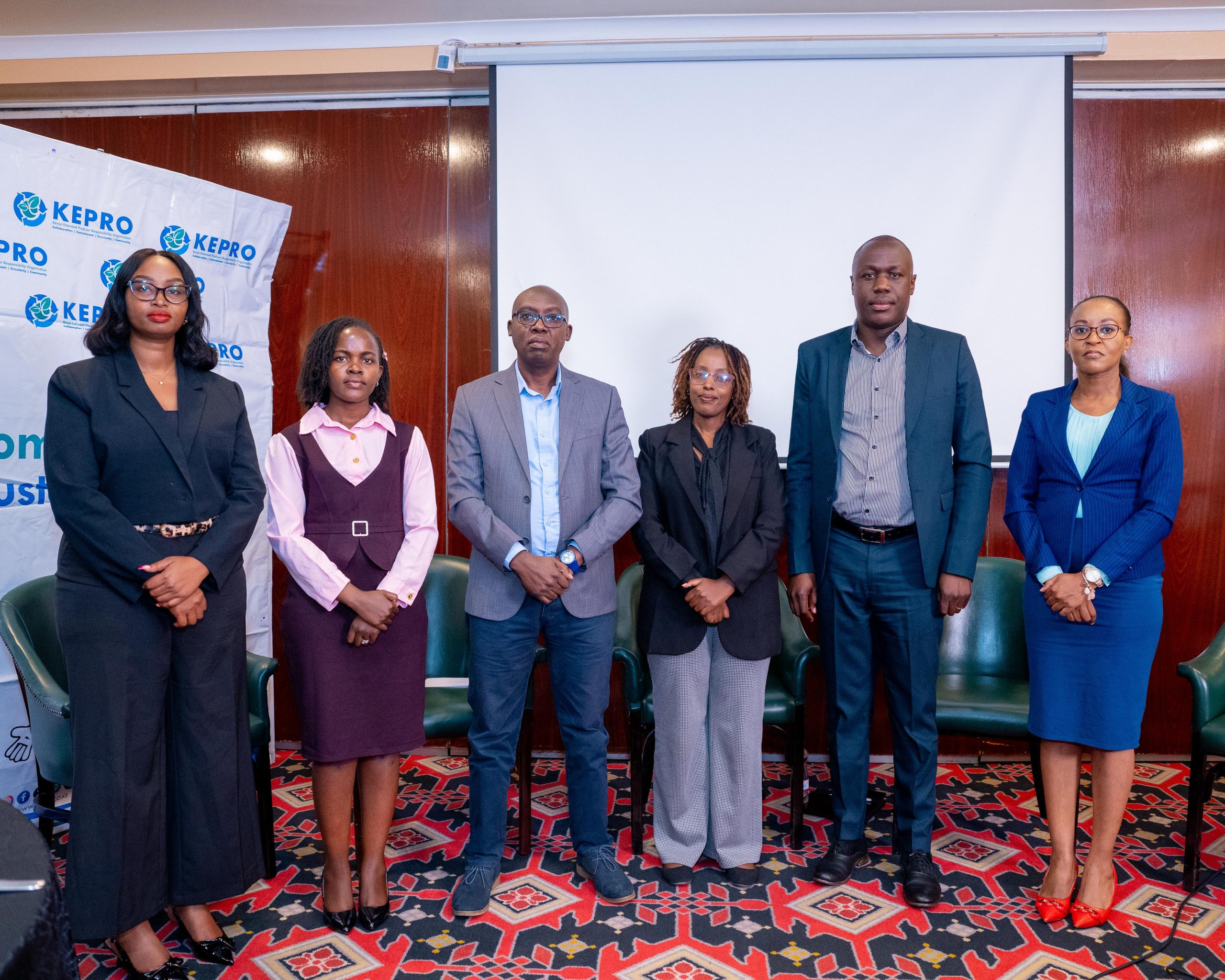


Officials from the National Land Commission, the Ministry of Environment, Climate Change and Forestry, Wyss Academy for Nature, CETRAD, county governments and development partners display the Dryland Natural Assets Inventory and Participatory Mapping Reports for Isiolo, Samburu and Laikipia counties during the launch in Nairobi, on July 9, 2026.
Drylands Under Growing Pressure
For decades, Kenya’s arid and semi-arid lands (ASALs) have often been perceived as vast, empty landscapes with little economic value. Yet these regions, which cover nearly 90 per cent of the country’s landmass, support millions of people, sustain globally important wildlife, provide grazing land for livestock, protect critical water sources and hold ecosystems that are central to Kenya’s environmental and economic future.
As climate change, rapid infrastructure development, population growth and competing land uses place increasing pressure on these fragile ecosystems, experts say understanding and documenting the country’s natural assets has become more urgent than ever.
A Partnership to Protect Natural Heritage
It is against this backdrop that the National Land Commission (NLC), in partnership with the Wyss Academy for Nature, the Centre for Training and Integrated Research in ASAL Development (CETRAD), county governments and local communities, launched the Dryland Natural Assets Inventory and Participatory Mapping Reports for Isiolo, Samburu and Laikipia counties together with the Guidelines for Participatory Natural Assets Mapping in Drylands.
The reports provide one of Kenya’s most comprehensive inventories of natural assets in three ASAL counties, documenting rivers, wetlands, springs, rock catchments, wildlife corridors, grazing reserves, forests, salt licks, dense vegetation, livestock routes and other ecologically important landscapes.
Science and Community Knowledge Working Together
Speaking during the launch in Nairobi, Selly Kimosop, Environment Secretary at the Ministry of Environment, Climate Change and Forestry, who represented Principal Secretary Dr. Eng. Festus Ng’eno, said Kenya’s drylands should no longer be viewed as marginal lands but as strategic landscapes that sustain livelihoods, biodiversity, tourism and climate resilience.
“Evidence-based planning is no longer a luxury; it is a necessity. The reports we launch today are practical tools that support county spatial planning, strengthen environmental governance, guide sustainable investments, improve land-use planning and help reduce conflicts over natural resources by providing shared information that all stakeholders can rely upon,” she said.
Kimosop said the reports provide government, investors, researchers, conservation organisations and communities with reliable information needed to guide development while safeguarding natural resources.
She also praised the collaboration between the National Land Commission, Wyss Academy for Nature, CETRAD, county governments and local communities, noting that the partnership demonstrates the value of combining scientific research with indigenous knowledge.
“The mapping process was participatory. Communities became partners in generating knowledge. When scientific evidence and indigenous wisdom work together, our decisions become stronger, more inclusive and more sustainable,” she added.
Building Better Land Governance
National Land Commission Chairperson Dr. Abdillahi Saggaf Alawy said the initiative represents a significant milestone in Kenya’s journey towards protecting its natural heritage through informed land governance.
According to Alawy, sustainable development begins with understanding the country’s natural resources, appreciating their value and putting in place systems that ensure they are protected for present and future generations.
He noted that the reports identify and spatially map natural assets that support pastoral livelihoods, biodiversity, climate resilience, food security and local economies across Kenya’s drylands.
“Planning without reliable data inevitably leads to conflict, environmental degradation and irreversible loss of public resources. Planning based on sound evidence creates resilience, certainty and shared prosperity,” he said.
Alawy observed that as Kenya accelerates community land registration, county spatial planning and infrastructure development, there is a growing need to ensure that development does not undermine ecosystems that communities depend on.
He said the reports build upon the Kenya Natural Resources Atlas by moving beyond a national inventory to detailed county-level documentation through participatory mapping and modern geospatial technologies.
“These reports should not remain documents on shelves but become practical tools that guide land administration, policy formulation, investment decisions and natural resource governance across our country,” he added.
Documenting What Matters Before It’s Lost
Chairperson of the National Land Commission’s Land Administration and Management Committee Commissioner Vincent Kigen said the initiative fills a longstanding gap in Kenya’s land governance framework.
While the country has invested heavily in documenting land ownership, he noted that relatively little attention has been given to identifying and protecting natural assets that sustain communities and ecosystems.
“How do we protect what we have never documented? The answer is straightforward we cannot. These reports provide the documentation needed to safeguard our natural assets within land administration systems before development permanently compromises them,” Kigen said.
He described the reports as land governance tools that will strengthen planning, support sustainable investment, reduce conflicts over natural resources and ensure public assets are protected during development.
Communities at the Heart of Conservation
Unlike previous inventories, the mapping exercise relied heavily on community participation. Elders, women, youth, pastoralists and technical experts worked together to identify and validate natural assets using indigenous knowledge, storytelling, Geographic Information Systems (GIS), satellite technology and field verification.
This approach ensured that local knowledge accumulated over generations complemented scientific methods, producing an accurate picture of the landscapes and the resources they support.
The inventories documented hundreds of natural assets across the three counties, including perennial rivers, wetlands, ponds, springs, wildlife migration corridors, livestock routes, dry-season grazing areas, forests, dense vegetation and natural salt licks.
The exercise also identified increasing threats facing these ecosystems, among them climate change, prolonged droughts, land degradation, encroachment, infrastructure expansion, land fragmentation and growing competition over natural resources.
Representing the three pilot counties, Laikipia County Executive Committee Member for Water, Environment, Natural Resources, Wildlife and Climate Change Leah Njeri welcomed the reports, saying they provide county governments with practical planning tools that will improve environmental management and conservation.
“This report gives us a planning tool that we are committed to using. We will ensure our wildlife corridors are protected so that people and wildlife can continue to coexist peacefully,” she said.
She said the findings will support county wildlife policies, strengthen climate adaptation planning and improve accountability in the management of natural resources.
A Blueprint for Kenya’s Drylands
The accompanying guidelines establish Kenya’s first standard methodology for participatory natural assets mapping and are expected to guide similar exercises across the country’s remaining ASAL counties.
Stakeholders expressed optimism that integrating the findings into county spatial plans, community land registration, conservation programmes and development planning will help safeguard critical ecosystems while supporting sustainable economic growth.
As Kenya confronts the realities of climate change and increasing pressure on land and natural resources, the launch of the reports signals a shift towards evidence-based decision-making, recognising that protecting nature is not only an environmental obligation but also an investment in livelihoods, resilience and the country’s long-term prosperity.